
Understanding Extreme Rainfall and Flood Risk in a Changing Climate
- Philip Sen

- May 30, 2025
- 3 min read
Updated: Jun 5, 2025
Climate change is reshaping storms and floods in ways we’re only beginning to understand. But with cutting-edge climate modelling, BNHRC researchers hope to support end-users with the tools to prepare for a more unpredictable future.
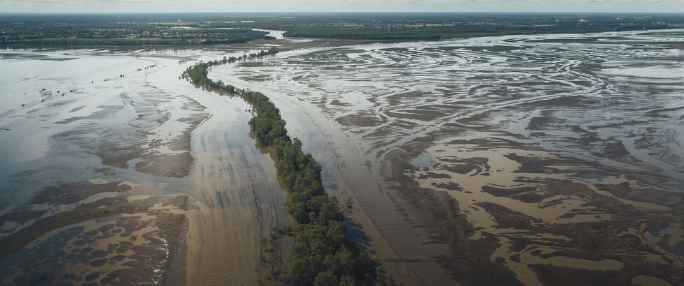
With NSW now recovering from devastating mid-North Coast floods this May, it's more important than ever to understand where and when extreme rainfall might occur.
Dr Martin Jucker is the Director of the BNHRC’s Climate and Weather node Master’s programme, based at UNSW’s Climate Change Research Centre.
“Not all heavy rain is created equal," he explains. "In eastern Australia, much of the most intense and damaging rainfall is caused by extratropical cyclones. These are storm systems that can bring days of heavy rain when they stall or move slowly - like what happened around Lismore in 2022.”
Unfortunately, these complex systems are not well understood, and many climate models struggle to simulate them accurately. That makes it hard to predict future flood risks.
“The 2022 Lismore floods involved a strong East Coast Low,” he says, “slowly moving down the coast from north to south. Then a few months ago, the East Coast experienced severe flooding and coastal erosion from a very different structure, Tropical Cyclone Alfred.
“Alfred was about to head off eastward into the Pacific when it suddenly turned around, and then slowly approached the Gold Coast westwards.
“Finally, in May 2025, extensive flooding was caused by onshore winds related to a strong high-pressure system to the south. Uncharacteristically, the focus of strong rainfall moved up the coast northward, and then back down south again (see visualisation below).
Exploring climate change effects
Traditionally, changes to flood risk with climate change are estimated using a rule-of-thumb. For every degree of global warming, rainfall intensity increases by about 8%.
This idea is based on thermodynamics - the basic principle that warmer air can hold more moisture. But this assumes an atmosphere at rest and therefore ignores the effect of winds and associated moisture transport from remote regions towards where rainfall occurs.
Dr Jucker’s BNHRC-funded project on the dynamics of multi-day rainfall extremes’ aims to find out more.
Why do some cyclones stall while others don’t?
How might these storm systems change as the climate warms?
Can our current models predict these changes?
Recent studies have used massive climate datasets - 7 million cyclone tracks from global climate models - to see how well these systems are represented. But models often:
Underestimate rainfall over the oceans;
Overestimate it over land;
Miss extreme rainfall near coasts, especially where smaller storms feed into larger systems.
This means we may be misinterpreting future flood risks in some areas.
Another important angle of research looks at how bursts of intense rain change with temperature. This is called rainfall scaling, and it's based on the idea that warmer air brings more intense storms.
Exploiting radar data
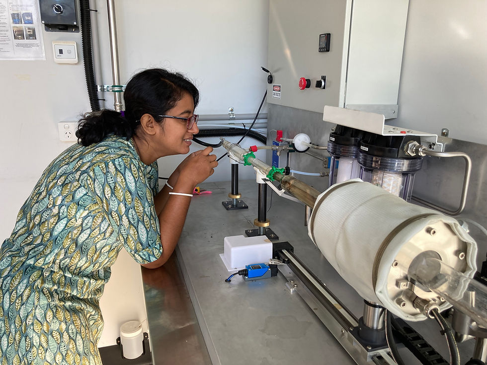
David Bee Olmedo’s project under the BNHRC Climate and Weather Master’s program uses radar data from the Sydney area to map these changes in fine detail. Unlike rain gauges, radar can give a full picture of rainfall patterns over space and time.
Some areas show stronger increases in rainfall with temperature - faster than expected;
Others (especially west of Sydney, in the Blue Mountains) showed decreases;
There are big differences between land and sea areas, and the data suggests that topography plays a role.
Understanding where change ‘hotspots’ are will help the NSW SES, NSWRA and other end-users improve flood planning and emergency response
Understanding where these change ‘hotspots’ are will help the NSW SES, NSWRA and other end-users improve flood planning and emergency response, while urban planners may be able make more informed decisions about land use and infrastructure.
As the projects continue, concludes Dr Jucker, the BNHRC hope to examine why some cyclones stall, and what that means for future flood events.
“We will be testing new high-resolution models that may better represent complex storms and expanding radar studies to other areas to check for similar patterns,” he adds.
Read Martin Jucker’s latest publication: Global representation of extratropical cyclone precipitation and future trends in CMIP6 models

Comments